")
IMAGE
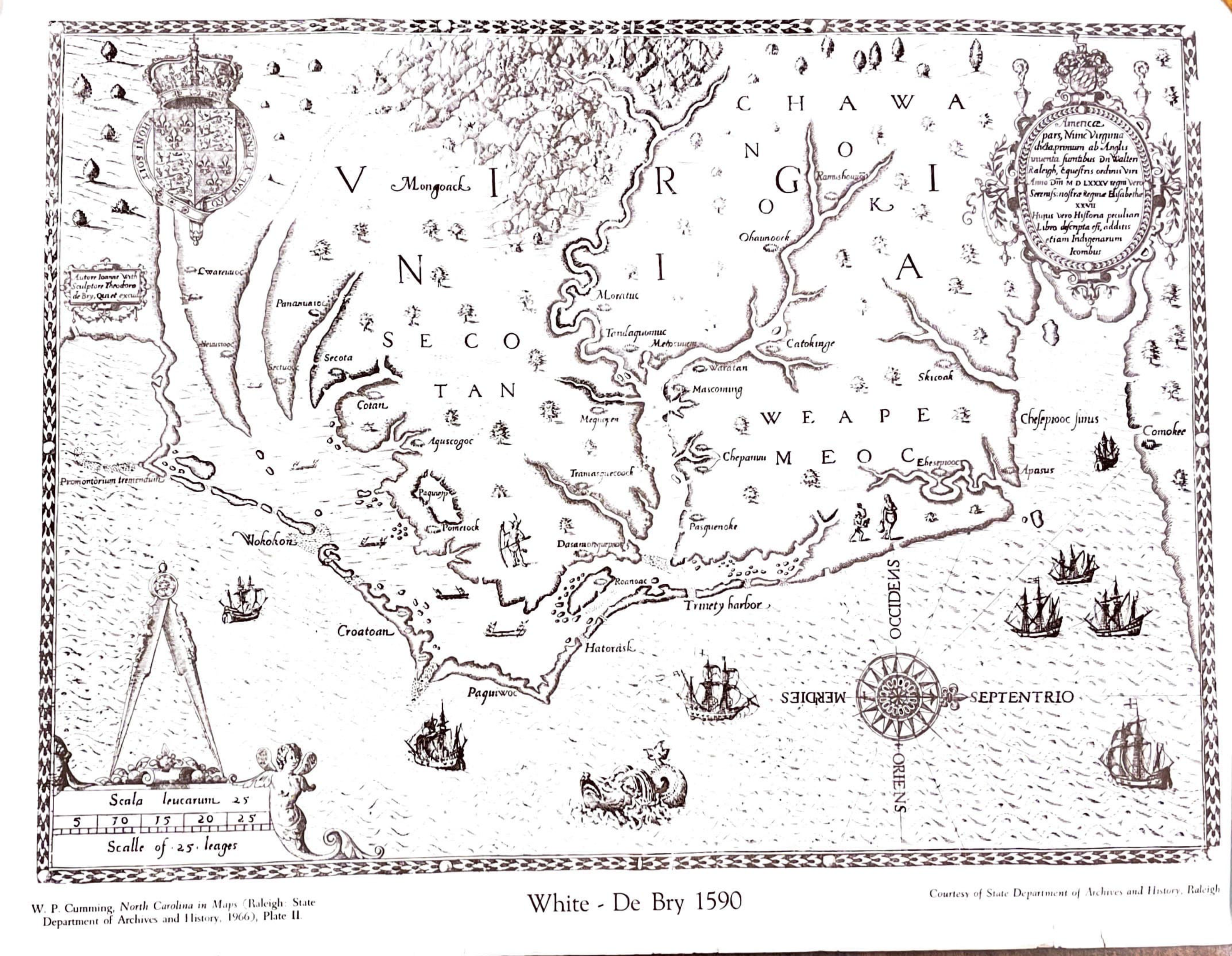
White Debry 1590 Map of the Carolinas Item Info
Source
- Preferred Citation:
- "White Debry 1590 Map of the Carolinas", From Plantation to Prison, Center for Digital Inquiry and Learning (CDIL)
- Reference Link:
- https://amalkir.github.io/VannPlantationArchive/items/m_7.html
Rights
- Rights:
- Public Domain
- Standardized Rights:
- This work is in the public domain. It may be freely used without restriction. Please credit the New York Public Library as the source when possible.